


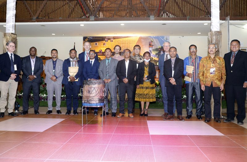
DILI, 15 november 2022 (TATOLI) – The Minister of Petroleum and Minerals, Victor Soares, released the geological maps of the municipality of Bobonaro and the Special Administrative Region of Oé-Cusse Ambeno (RAEOA).
The geological maps of the two regions were presented to the President of the Bobonaro Authority, Ernesto Barreto, and the President of the RAEOA, Arsénio Paixão.
The President of the Organizing Committee and Vice-President of the Petroleum and Geology Institute (IPG), Oktoviano de Jesus, informed that the geological maps were produced by Timorese geologists.
“IPG geologists have been conducting geological investigations in the two municipalities since 2016 to identify metallic and non-metallic minerals. For example, gold and silver,” he said at the Dili Convention Centre (DCC).
Ten groups of geologists were deployed to carry out geological investigations in the field, including data collection, evaluation, and interpretation. Each team was made up of three or four geologists.
“Through geological mapping, the silt, sand, mud, and clay from our streams and riverbeds had been collected and sent for laboratory analysis in Canada, Australia, and Indonesia,” Oktoviano said.
When asked about what types of mineral resources had been identified in the two regions, Oktoviano replied, “It is the government’s confidential information.”
The President of RAEOA, Arsénio Paixão, appreciated the results of the geological mapping, saying the map would help RAEOA: “The map is very important for the implementation of RAEOA’s infrastructure development projects, especially roads.”
Paixão said that RAEAO has the possibility of having gold, silver, marble, and other types of minerals.
The President of Bobonaro Authority, Ernesto de Oliveira Barreto also expressed his deep appreciation for the geological mapping: “According to the information, we have the possibility of having gold, silver, and marble in some administrative posts.”
Geologic maps are the primary source of information for various aspects of land-use planning, including the siting of buildings and transportation systems.
Journalist: Filomeno Martins
Editor: Nelia Borges