
JICA and MPIE discuss to launch Capacity Development Project

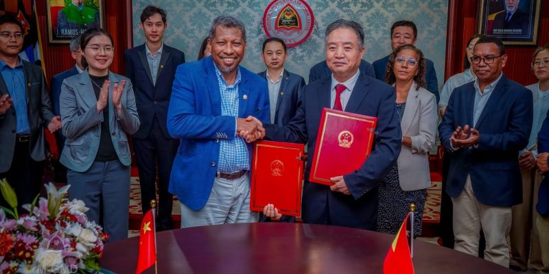
DILI, 22 january 2025 (TATOLI) – JICA and National Center of Geospatial Data (CNDG) of the Ministry of Planning and Strategic Investment (MPIE), on monday, conducted the first Joint Coordinating Committee (JCC) meeting for the “Project for Capacity Development for Topographic Mapping for Proper Land management”.
The meeting was attended by the Minister of MPIE, Gastão Francisco de Sousa, along with the board members of the ministry.
The goal of this first JCC was to foster a common understanding between MPIE and JICA on the details of the project.
As part of this initiative, JICA will dispatch six Japanese experts and provide essential equipment to CNDG. This support is intended to facilitate the preparation of topographic maps that contribute to efficient land management and infrastructure development and are accessible to the relevant agencies in Timor-Leste.
During this JCC, Minister Gastão expressed his deepest gratitude to the Government of Japan, through JICA for the commitment to this project.
Minister Gastão highlighted that the project will provide an opportunity for professionals to gather critical and beneficial data for the Dili Urban Master Plan, particularly in terms of proper land management. He also encouraged the professionals in the ministry, especially CNDG to work collaboratively with the Japanese experts to ensure the project’s success.
Furthermore, JICA hopes that the CNDG will acquire sufficient capabilities to independently create topographic maps by the end of the project, thereby contributing significantly to Timor-Leste’s development efforts.
TATOLI